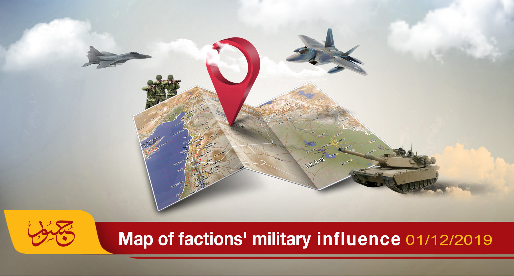
Map of military influence in Syria 01-12-2019
The map of the military influence in Syria for November 2019 showed remarkable stability in the total control ratios among the conflicting forces on the Syrian territory compared with the ratios recorded last October.
According to the map released by the Jusoor Center for Studies, control ratios on the ground are as follows:
- Opposition factions maintained somewhat their control with a slight increase, recording (12.13%) compared to (12.12%) recorded last month, an area equivalent to 22645 square kilometers of the total area in Syria.
- The Syrian Democratic Forces (SDF) maintained somewhat its control with a slight decline, recording 25.64% compared to 25.67% last month. This is an area equivalent to 47,846 square kilometers of the total area in Syria.
- The Syrian regime forces maintained its control ratio with a slight increase, recording 62.23% compared to 62.22%, an area of 116,139 square kilometers of the total area in Syria.
- Naturally, ISIS has no military control over Syrian territory since last February.
In the east of the Euphrates, military operations continue within the area of Peace Fountain despite announcing cessation on 23 October 2019 under the Sochi Memorandum 2019 between Turkey and Russia. Conflict between the Syrian National Army on the one hand, and the (SDF) and the Syrian regime on the other hand is intensifying on the outskirts of the towns of Tal Tamr, north of al-Hasakah, and Ayn Issa, north of Raqqa.
During November 2019, the de-escalation zone witnessed resumed hostilities by Syrian regime forces, which took control of three villages in the southeastern countryside of Idlib without having an effect on the control ratios in the map of military influence.